Useful links
Sign up for our newsletter
Contact us
The Gibson Library
2 King Street
Saffron Walden
Essex CB10 1ES
Telephone: 0345 6037628
(Switchboard – ask for Saffron Walden Gibson Library)
Email: society@gibsonlibrary.org.uk

Listed below are the large scale maps that cover Saffron Walden itself; large scale maps covering elsewhere in the district are on the Uttlesford page.
All the maps listed in the table below are at 1:500, or one inch represents c.42 feet (one centimetre represents 5 metres), an incredibly large scale. They are all contained in the folder labelled “Maps of the Saffron Walden area, 18th & 19th Cent – 1”, which is on the floor, to the right of the Reading Room window. (Note: (a) is an unofficial way of saying sheet western half only; (b) is eastern half only.)
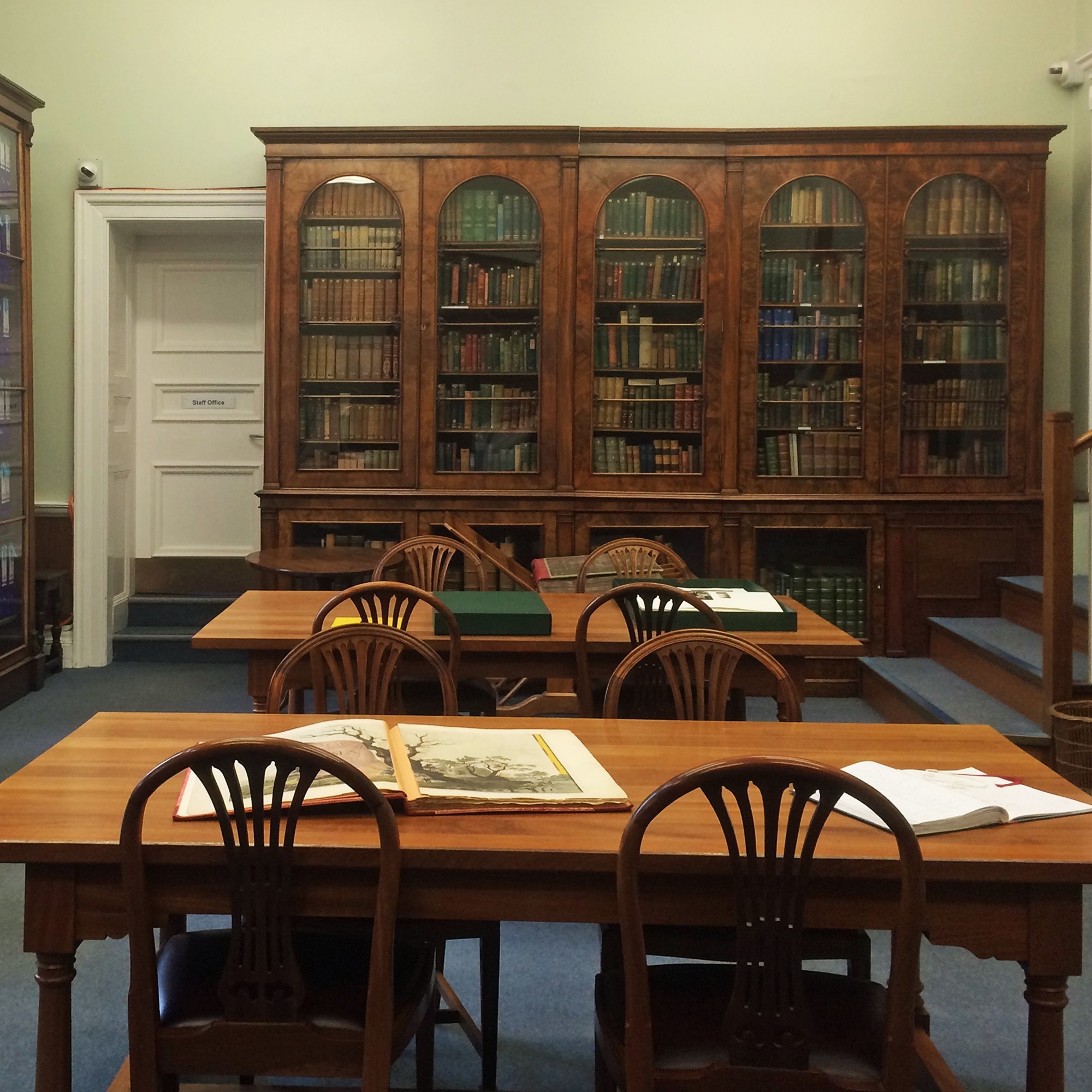
All the maps below (except Nockold’s Wendens Ambo map) are held in the Reading Room, in a set of large map folders located on the floor at the right hand end of the windows.
| Sheet | Date | Area included |
| IX.1.19(a) | 1877 | Audley Park Swan’s Lodge, Maze [in Bridge End Gardens] |
| IX.1.19(b) | 1877 | Middle Square, [Castle Street] |
| IX.1.20(a) | 1877 | Upper Square, [Castle Street], [Little Walden Road], Castlehill House |
| IX.1.20(b) | 1877 | Sheds Lane |
| IX.1.24(a) | 1877 | Freshwell Street, Walden Place, Myddlton Place, New Pond |
| IX.1.24(b) | 1877 | High Street, Castle Street, Church Street, King Street, St Mary’s Church |
| IX.1.24(b) & IX.5.4(b) | 1877 | High Street, Castle Street, Church Street, King Street, St Mary’s Church, Almshouses, Hill House Gardens, Repell Ditches, Gold Street. (Two half sheets combined.) |
| IX.1.25 | 1877 | Market Place, Hill Street, Rose & Crown, The Common, The Maze, East Street, Boys School |
| IX.1.25(a) | 1877 | Market Place, Hill Street, Rose & Crown, The Common |
| IX.1.25(b) | 1877 | The Common, The Maze, East Street, Boys School |
| IX.5.4 | 1877 | High Street, Almshouses, Hill House Gardens, Repell Ditches, Gold Street. [Two copies] |
| IX.5.5 | 1877 | Audley End Road, Fairycroft Road, South Road, Elm Grove, Nursery |
| IX.5.9 | 1877 | Hospital, Borough Lane, Debden Road, London Road, Girls School |
| IX.5.10 | 1877 | Station Road, Railway Station, South Road, Windmill. [Two copies] |
| IX.6.1 | 1877 | Gas works, Cemetary, Thaxted Road, Prospect Place |
| Sheet | Date | Area included |
| IX.1 | 1877 | North End, Duck Street, Windmill Hill, Centre of Saffron Walden as far south of George Street, The Common |
| IX.1 | 1897 | Same as for the 1877 edition above, but far less detail within fields/gardens. Marked as “Second Edition”. |
| IX.2 | 1877 | Millfield, Sewersend Road, Workhouse, Pounce Wood, Saffron Walden Railway |
| IX.5 | 1877 | Audley End House, Audley End, Centre of Saffron Walden south of George Street, Railway Station, Pesthouse |
| IX.5 | 1897 | Audley End House, Audley End, Centre of Saffron Walden south of George Street, Railway Station, Pesthouse |
| IX.6 | 1877 | Thaxted Road, Pounce Hall, west end of Sewer’s End, Bear’s Hall |
| nVII.11 | 1921-1946 | Littlebury |
| nVII.12 | 1921-1943 | Lt Walden Road |
| nVII.15 | 1921 | Audley End estate |
| nVII.16 | 1921-1962 | Central Saffron Walden out to Windmill Hill, Millfield, Peaslands, Cromwell Road, High School – very neat manual additions to 1962 |
| nXIII | 1921-1946 | Wendens Ambo |
| nXIII | 1921 | Pleasant Valley, The Roos |
| nXIII.10 | 1921-1942 | Wicken Bonhunt, Clavering |
| nXIII.11 | 1921-1944 | Newport |
| nXIV | 1921-1943 | Great Sampford |