Useful links
Sign up for our newsletter
Contact us
The Gibson Library
2 King Street
Saffron Walden
Essex CB10 1ES
Telephone: 0345 6037628
(Switchboard – ask for Saffron Walden Gibson Library)
Email: society@gibsonlibrary.org.uk

Listed below are small scale maps also held in the Library.
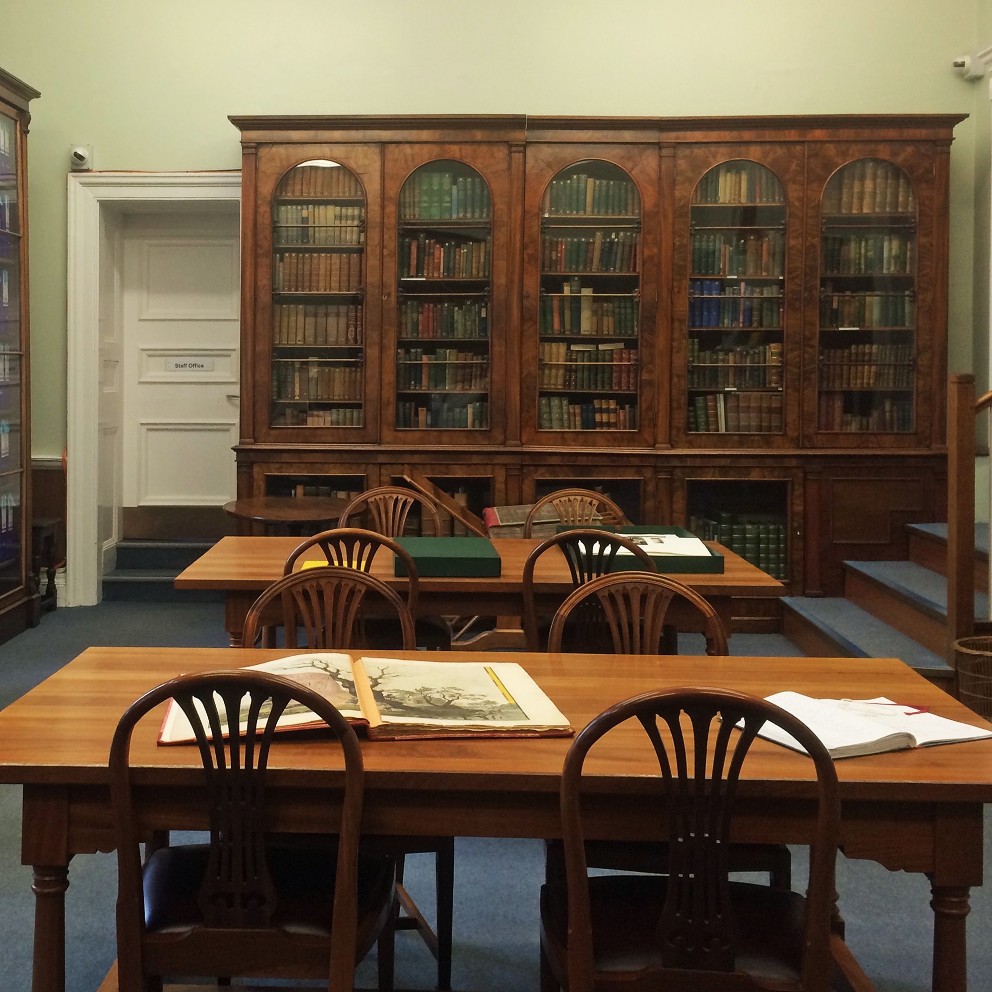
All the maps below (except Nockold’s Wendens Ambo map) are held in the Reading Room, in a set of large map folders located on the floor at the right hand end of the windows.
| Author(s) | Title | Date | Notes | Ref | Shelving |
| [John Eyre] | A Plan of Audley End farm and Adjoining Lands [based on the John Eyre 1758 map] | ||||
| Nockold et al | Wendens Ambo Enclosure Award | ||||
| John King | Saffron Walden Enclosures (2 copies) | ||||
| Ordnance Survey | Maps of central Saffron Walden at 1:500 scale and at 1:2,500 scale – see detailed listing | ||||
| Ordnance Survey | Maps of villages etc around Saffron Walden, at 1:2500 – see detailed listing | ||||
| Ordnance Survey | Ordnance Survey Maps 1921, 1:2,500, 13 vols – see detailed listing | ||||
| Ordnance Survey | Ordnance Survey Maps, 1:2,500, 1960s-1980s – see detailed listing | ||||
| Ordnance Survey | Ordnance Survey Maps, 1:2,500, 1994-1997 – see detailed listing | ||||
| Ordnance Survey | Ordnance Survey Maps, 1:10,000, 1960-2000 – see detailed listing | ||||
| Ordnance Survey | Ordnance Survey Maps, 1:25,000, 1950s – see detailed listing | ||||
| Ordnance Survey | Ordnance Survey Maps, 1:63,360 and smaller – see detailed listing. |