Useful links
Sign up for our newsletter
Contact us
The Gibson Library
2 King Street
Saffron Walden
Essex CB10 1ES
Telephone: 0345 6037628
(Switchboard – ask for Saffron Walden Gibson Library)
Email: society@gibsonlibrary.org.uk

Listed below are the 1921 large scale maps that cover the whole of Uttlesford. The Library also has an earlier set (1877/97) of 1:2,500 maps
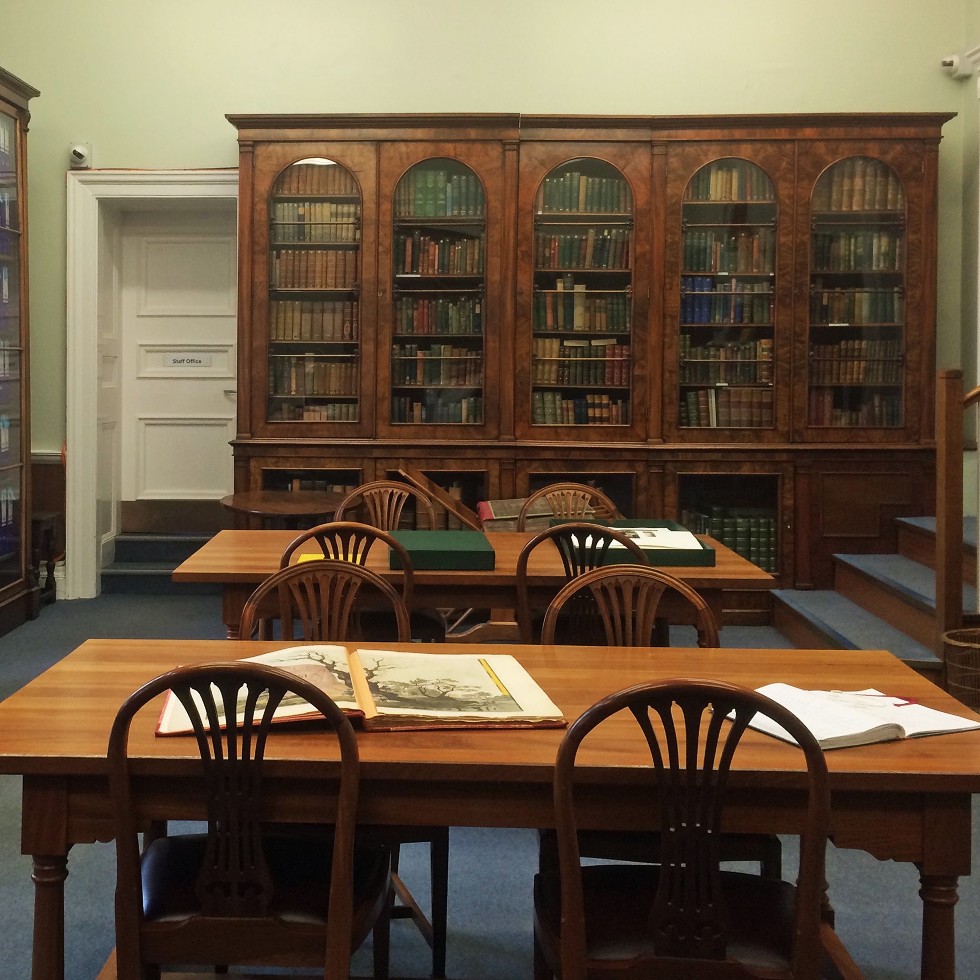
All the maps listed in the table below are at 1:2,500, ie one inch represents 208 feet (c69 yards), or one centimetre represents 25 metres. They are bound in the set of 13 volumes which is on the floor to the right of the Reading Room window.
Almost all of the old Saffron Walden District Council area is covered, plus most of the Great Dunmow area. The one that covers central Saffron Walden is on the Saffron Walden page.
All the maps below (except Nockold’s Wendens Ambo map) are held in the Reading Room, in a set of large map folders located on the floor at the right hand end of the windows.
| Vol | Sheets | Date | Areas included |
| 1 | 1-13 | 1921 | Index maps; Abington Park, Chrishall Grange, Heydon, Crishall, Great Chesterford |
| 2 | 14-26 | 1921 | Elmdon, Littlebury Green, Littlebury, Monks End, Stevington End |
| 3 | 27-38 | 1921 | Ashdon, Hempstead |
| 4 | 39-52 | 1921 | Upper Green, Meesden, Arkesden, Wendons Ambo, Shortgrove |
| 5 | 53-65 | 1921 | Clavering, Wicken Bonhunt, Newport, Widdington, Wimbish, Radwinter |
| 6 | 66-78 | 1921 | Howlett End, Great Sampford, Little Sampford |
| 7 | 79-88 | 1921 | Stocking Pelham, Berden, Quendon, Henham |
| 8 | 89-98 | 1921 | Manuden, Stansted Mountfitchett, Elsenham |
| 9 | 99-108 | 1921 | Birchanger, Chapel End |
| 10 | 109-124 | 1921 | North Thaxted, Little Bardfield, Monk Street, Duton Hill, Great Easton, Little Easton, Takeley |
| 11 | 125-137 | 1921 | Great Dunmow, Felsted, Hatfield Forest, Great Hallingbury |
| 12 | 138-150 | 1921 | Little Hallingbury, High Roding, Hatfield Heath |
| 13 | 151-163 | 1921 | Hatfield Broad Oak, Aythorpe Roding, White Roding, Leaden Roding, Beauchamp Roding |