Useful links
Sign up for our newsletter
Contact us
The Gibson Library
2 King Street
Saffron Walden
Essex CB10 1ES
Telephone: 0345 6037628
(Switchboard – ask for Saffron Walden Gibson Library)
Email: society@gibsonlibrary.org.uk

The Gibson Library holds many historical atlases – historical in this case meaning both ones that are hundreds of years old as well as modern atlases about historical times. The listing below is split into British Atlases, London Atlases, World Atlases and Historical Atlases.
The British Atlases mainly have maps of England & Wales, and of the counties of England and Wales – dating from 1701 to 1901. There are other atlases in this section covering a variety of scales and locations within Britain.
The London Atlases are principally the atlases published by the London Topographical Society, showing plans of London at various points in time. Other atlases of London are held that were published from 1597 (a reproduction) to 1832, as well as books about maps of London.
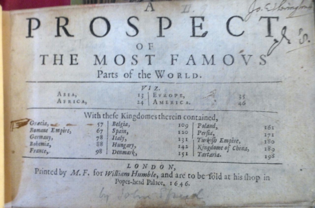
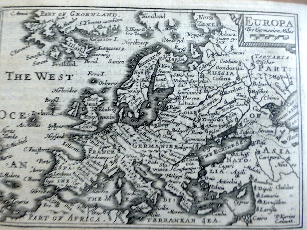
The World Atlases section has volumes that have maps of some or all countries, including the oldest atlas in the collection – a Ptolomeic Atlas from 1490.
The Historical Atlases section has volumes that show many regions around the world in historical times (historical atlases of London are included in the London section).
View news or events